Chaton's Dell
Présentation
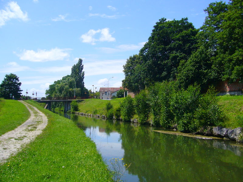
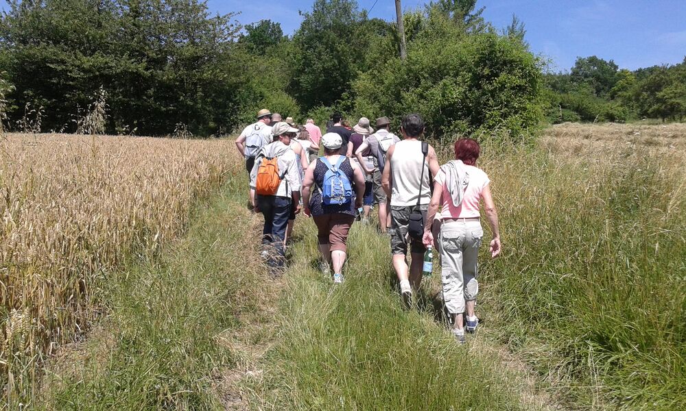
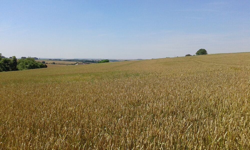
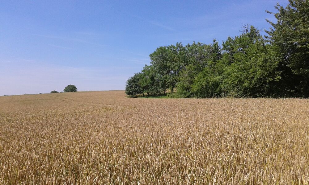
Ourcq Valley, Trousse castle, Méranne and Chaton's dells punctuate this countryside hike livened up by a patchwork of cultures and woods.
This route is labeled and marked in yellow by the Seine-et-Marne Departmental Hiking Committee.
1) From the church, take the street to the left, pass in front of the manor and continue via the D102 to the left (careful). It passes under the train tracks, goes over the Ourcq and leads to the canal bank.
2) Take the towpath on the left for 2 km. At the bridge, cross the road, follow the towpath for 100 meters and go down to the left. Go around the roundabout on the right then continue straight ahead on Avenue de la Gare.
3) Turn left, pass the Vieux Moulin farm and cross the train tracks. Take the D17 to the right, and the D401 to the left (careful) on 200m.
4) To the right, take the grassy path that goes up on the edge of the wood along the Méranne stream and ends at the Trousse castle. Continue straight via the road that goes along the all, and, in the second turn, continue via the large path. At the T shaped crossroad, go up to the right towards Crépoil and, at the entrance of the village, fork left. Cross the road, take the path on the left and leave the path on the right.
5) At the crossroad, turn left and follow the road to the right. It leads to Cocherel. Follow the rue du Gué-Mathieu on the right, and at the center of town, the street on the left. It passes in front of the cemetery. Cross the D401 and go down via the small road at Chaton. Cross the village heading West.
6) At the wash house, go down the street on the left and continue via the path between cultures and orchards. Once at the bois de la Consigne, turn right, then take the small road on the left and cross straight ahead to Rademont. Take the D17 to the left for 500m (careful), and the D102 to the right. Lined with lindens, it leads to the center of Ocquerre.
Free access.
All year round.
| Fichier | |
|---|---|
| Le Vallon de Chaton | Télécharger |
| Randonnée "Le vallon de Chaton" | Télécharger |