Hiking around the mountain of Vernou-La Celle
Présentation
This route is labelled and marked in yellow by the CODERANDO77.
Other possible departure : Swimmingpool Collinettes.
Other possible departure : Swimmingpool Collinettes.
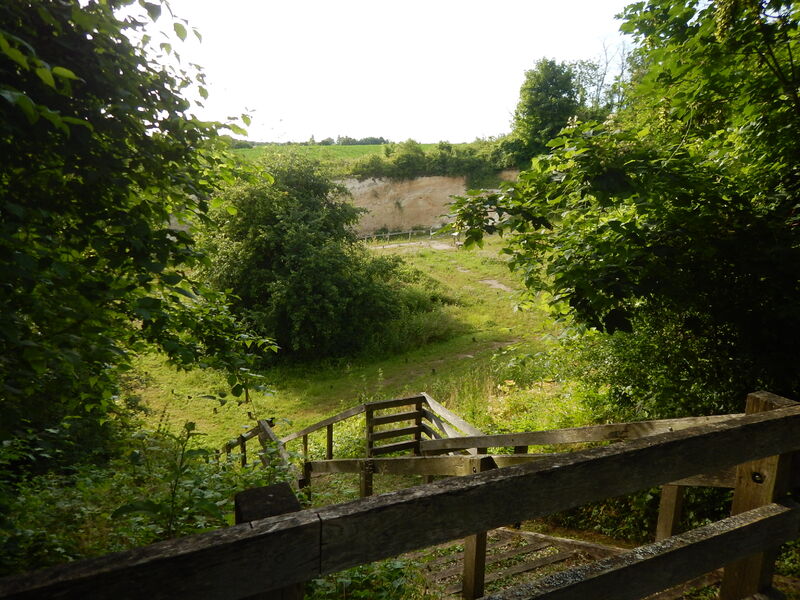
Wide loop around the Mont de Vernou, highest point of the Seine-et-Marne southwest (146 m altitude), this circuit will make you discover, in an alternation of forest and countryside sequences, the various hamlets of the town as well as the charming valley of the ru Flavien, known as the Seven Mills.
This route is labelled and marked in yellow by the CODERANDO77.
Other possible departure : Swimmingpool Collinettes.
Wide loop around the Mont de Vernou, highest point of the Seine-et-Marne southwest (146 m altitude), this circuit will make you discover, in an alternation of forest and countryside sequences, the various hamlets of the town as well as the charming valley of the ru Flavien, known as the Seven Mills.